Description
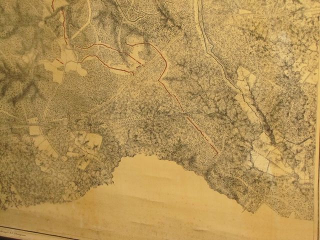
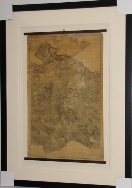
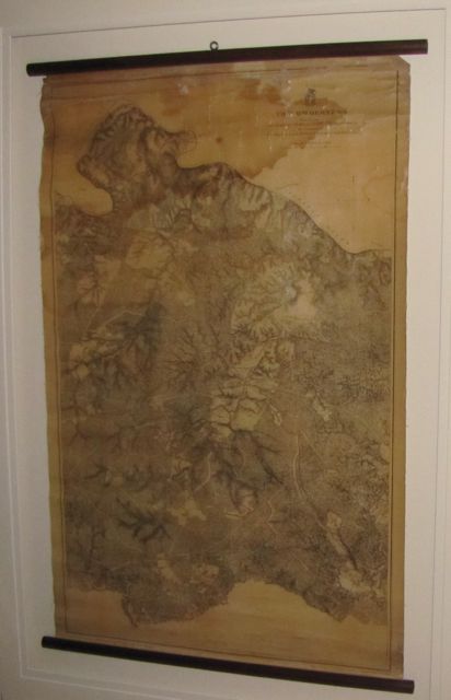
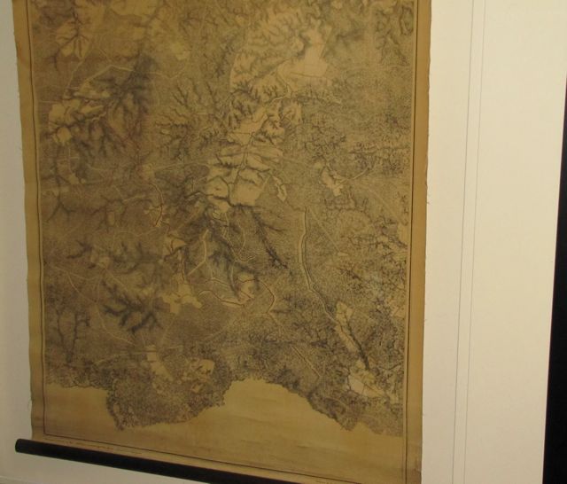
Rare authentic antique 1867 US Army Wall Map, Battle of The Wilderness Which took place on: May 5-7 1864, Grant vs. Lee Printed at top right of map: The Wilderness From Surveys Under the direction of Bvt. Brig General N. Michler Major of Engineers By Command of Bvt. Gen. A.A. Hunphrys Brig. Gen. & Chief Engineer 1867 3 to 1 Mile Printed at bottom of map: Photolith by The NY Lithographing & Engraving & Printing Co. Julius Bien Supervisor Surveyed & drawn by Major J.E. Weys Assisted by F. Theilkuht, J. Strasser & G. Thompson Map size 20 x 32 with wood dowel at top & bottom Archival framing with UV acrylic, frame size: 34 x 48 #9486 Historical Americana Company

